Somos una empresa con más de 15 años de experiencia en desarrollos de soluciones
basados en Sistemas de Información Geográfica (GIS).

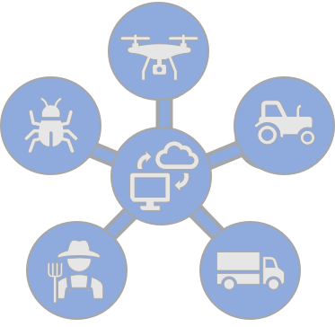
Nuestras Soluciones
Transformación digital
Captura Inteligente de datos
Panel de control
Internet de las cosas
Red Productiva

Ver más >>
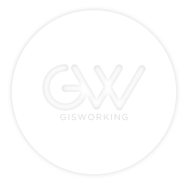
Transformación digital
Deje que Gisworking optimice su organización. Esté preparado para transformar tediosos procesos burocráticos en servicios web. Resuelve en segundos las tareas sin fin.
Relevamiento
Base de Datos
Captura en campo
Sensores
Procesamiento
Ordenar
Depurar
Enriquecer
Analítica
Generación de Indicadores
Estadística Descriptiva
Análisis Geográfico
Información
Toma de decisiones
Conocimiento
Ver más >>
Captura inteligente de datos
¿QUÉ, QUIÉN, CÓMO, CUÁNDO y DÓNDE? deben ser respuestas y no interrogantes. Registre las actividades productivas, con una herramienta intuitiva y ágil de relevamiento de datos.

Datos
Geográficos
Cuantitativos
Cualitativos

GWMobile
Herramienta de Captura
Registro georeferenciado
Monitoreo inteligente

Estados
Seguimiento
Monitoreo
Alertas
Reportes
Informes desde el campo
Notificaciones en tiempo real
Flexibilidad de envío
Ver más >>
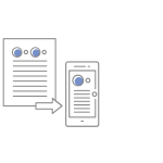
Panel de Control
Toda la actividad de localización de su empresa en un único panel interactivo, ágil y seguro. Tome mejores decisiones con las herramientas de análisis geográfico.

Ecosistema
Productivo
Infinitas fuentes de datos
Recolección descentralizados
Información centralizada

Diseño
Adaptable
Área interactiva de gráficos
Análisis geográfico
Análisis temporal
Analítica
Interactiva
Indicadores de gestión
Filtro, Mapas de calor
Recorrido, Monitoreo

Roles y
Usuarios
Permisos de accesos
Filtros de acciones
Seguridad de datos
Ver más >>
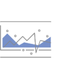
Internet de las cosas
Deje que las redes de sensores en tiempo real llenen sus bases de datos con datos precisos. Potencia tus decisiones con datos nunca antes recopilados.

Sensores
Variables meteorológicas
Contaminación, iluminación
Movimiento y traqueo

Conectividad
Celular
Wifi, Satelital
Baja frecuencia
Integración
Base de datos
Plataforma
Panel de control

Tiempo real
Reducción de tiempos
Información oportuna
Mejores decisiones
Ver más >>
Red Productiva
Sea parte de su ecosistema empresarial. Deje que proveedores externos hagan la recopilación de datos por usted. Descubrirá cientos de nuevas formas de agregar conocimiento a su negocio.

Plataforma
Estándar
Diseño
Implementación
Adecuación
App Captura
Compatible
Datos privados
Datos compartidos
Carga descentralizada
Ecosistema
Productivo
Participación
Integración
Negocios

Sinergia de
Negocios
Trabajo coordinado
Dinamismo
Todos ganan
Clientes que confían en nosotros


Gisworking nos da soporte en la recolección y el data cleansing en Latinoamérica. Esto nos ha ayudado mucho a bajar costos y a aumentar la calidad de nuestros productos.
FERNANDO VILLASOL
Latin America RMC Director - Here
En el 2009 desarrollamos un servicio de consulta de datos georeferenciados para el sector inmobiliario. Gisworking fue indispensable para triunfar en un mercado extremadamente complejo.
MARCELO BAUZA
CEO Inciti / PxQ

It's been already 15 years of work together. SNI has trusted Gisworking with a long list of projects around the world. We see in Geoworking a highly professional and resourceful company committed with our Goals
ANTHONY QUARTARARO
Founder & CEO - Spatial Networks, Inc.
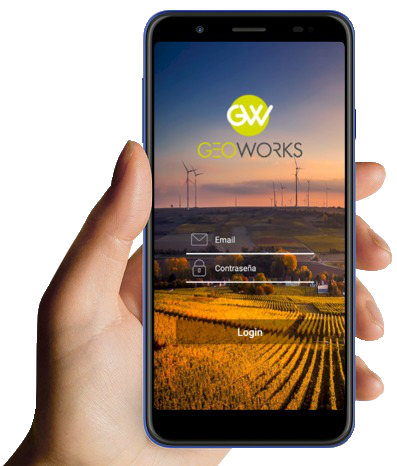
Gisworking posee plataforma flexible y eficaz para poder customizarla a la gestión de información agrónomica que hace la Asociación Tomate 2000. Se han integrado como un socio más del cluster tomatero, entre el know how de Tomate 2000 y la expertise de Gisworking, se está desarrollando la App Geoworks de Tomate Industria, que le brindará información altamente valiosa a nuestros productores, industrias y socios adherentes.
ING. GUILLERMO SAN MARTIN
Gerente General
Quienes Somos
Somos un equipo de profesionales interdiciplinario, dedicados a desarrollar e implementar sistemas de información espacial, innovando los procesos de nuestros clientes.
Hacemos simple lo complejo!
Desarrollamos y Distribuimos


Tecnologías utilizadas


Forme parte de nuestra red internacional de profesionales
Contacto
GISWORKING
Tel: +54 2612157859 / +54 2615560326
Av. San Martín 166 - Mendoza, Argentina
info@gisworking.com - lr@gisworking.com
Contáctenos